Winter Weather Alert: Rain to Snow Transition in Albuquerque This Weekend
Upcoming Weather Changes
As winter progresses in Albuquerque, residents and travelers should prepare for a significant shift in weather conditions this weekend. A cold air system is moving into the Rio Grande Valley, bringing with it a mix of rain and snow that could impact travel plans as we head into 2026.
Forecast Overview
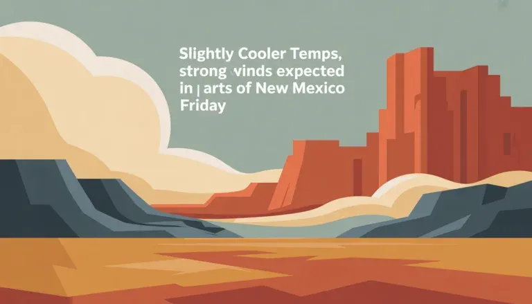
The National Weather Service forecasts that temperatures will reach the low 60s on Friday, but this milder weather will give way to widespread rain on Saturday. By Saturday evening, temperatures are expected to drop into the low 30s, transitioning the rainfall into snow, particularly at higher elevations such as the East Mountains and areas around Tijeras and Cedar Crest. While valley accumulations may remain light, the combination of rain and snow can create slick driving conditions, especially after dark.
Travel Implications
Major travel routes including I-25, I-40, and Paseo del Norte in the Albuquerque metro area may initially present wet conditions. However, as temperatures fall, drivers should be cautious of potential slick spots on bridges and overpasses. Communities located east of Albuquerque will likely experience more significant snowfall, which could lead to snow-covered roads and travel delays. Travelers heading to popular destinations like Sandia Crest should allow extra time and prepare for winter conditions.
Elevation Variations
Weather impacts in Albuquerque can vary dramatically with elevation. The city, sitting at over 5,000 feet, typically experiences lighter snowfall compared to surrounding mountain ranges. Historical patterns indicate that areas like the Sandia Mountains often receive heavier snow, which could further complicate travel along routes such as NM-14 and roads leading to Sandia Crest.
Looking Ahead: Winter Trends and La Niña Effects
This winter season, influenced by La Niña, is expected to showcase variable weather patterns. While recent weeks have seen above-average temperatures, the incoming cold front signals a transition to more typical winter conditions, featuring mixed precipitation through early January. This shift may affect not only weekend travel but also the broader winter outlook for New Mexico.
Residents and visitors are encouraged to stay updated on the latest forecasts and drive safely as conditions evolve throughout the weekend.